
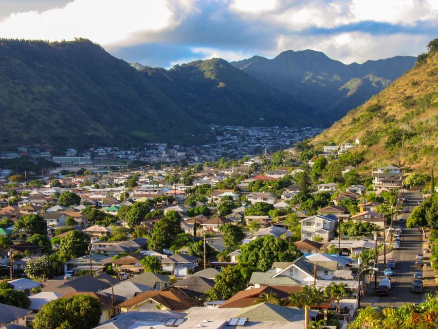
Mānoa, Makiki & Nuʻuanu
Honolulu’s green mauka valleys and ridgelines, close to town but quietly local.
Good Fit For
- Quick nature break
- Campus and schools
- Scenic ridge drives
- Residential Honolulu feel
- Repeat-visitor exploring
Trade-offs
- Dispersed, stop-by-stop
- Limited beach access
- Narrow roads, parking friction
- Rainier microclimates
Logistics & Getting Around
Best experienced by car, rideshare, or bus as a set of short outings from Waikīkī or downtown. Roads climb quickly from the city into valleys and ridges; allow extra time for traffic and occasional wet weather.
Nearby Areas in Honolulu
Ala Moana & Mōʻiliʻili
Urban Honolulu for shopping, quick meals, and easy access just west of Waikīkī.
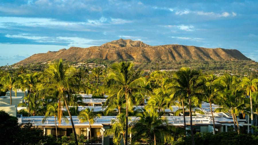
Diamond Head & Kapahulu
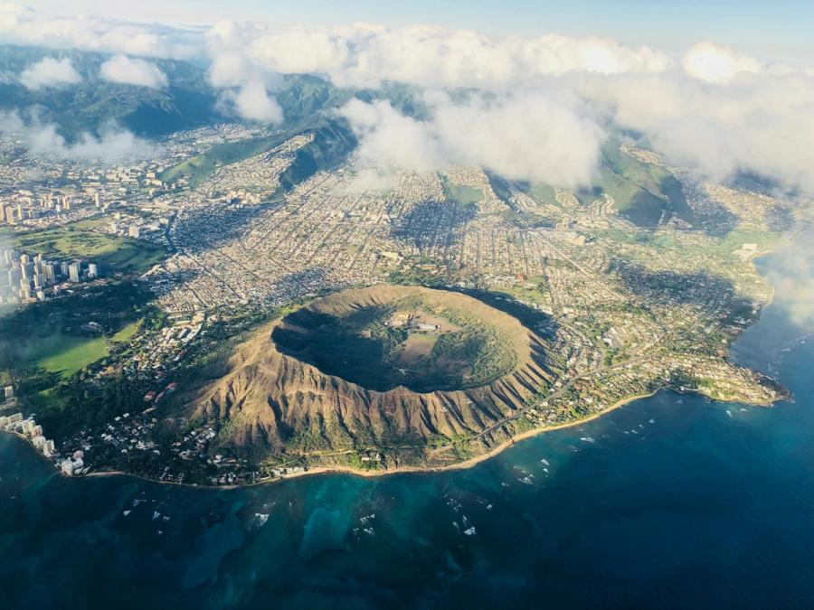
Leʻahi’s iconic crater and a nearby loop of parks, streets, and local eats.
Downtown, Chinatown & Kakaʻako
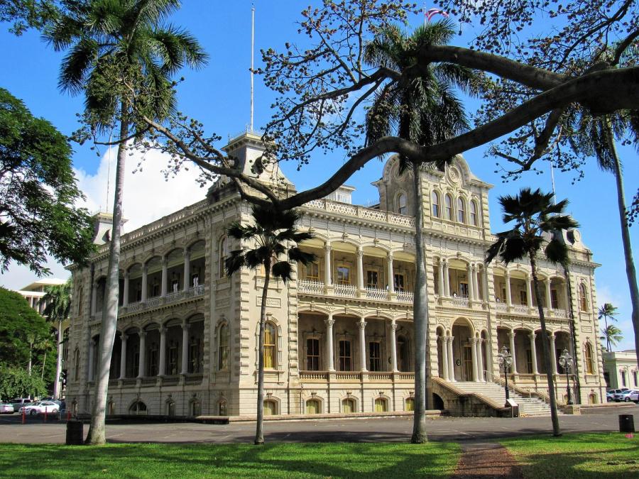
Honolulu’s urban core: palace-and-capitol history, Chinatown grit, and Kakaʻako’s waterfront remake.
Hawaiʻi Kai & East Honolulu
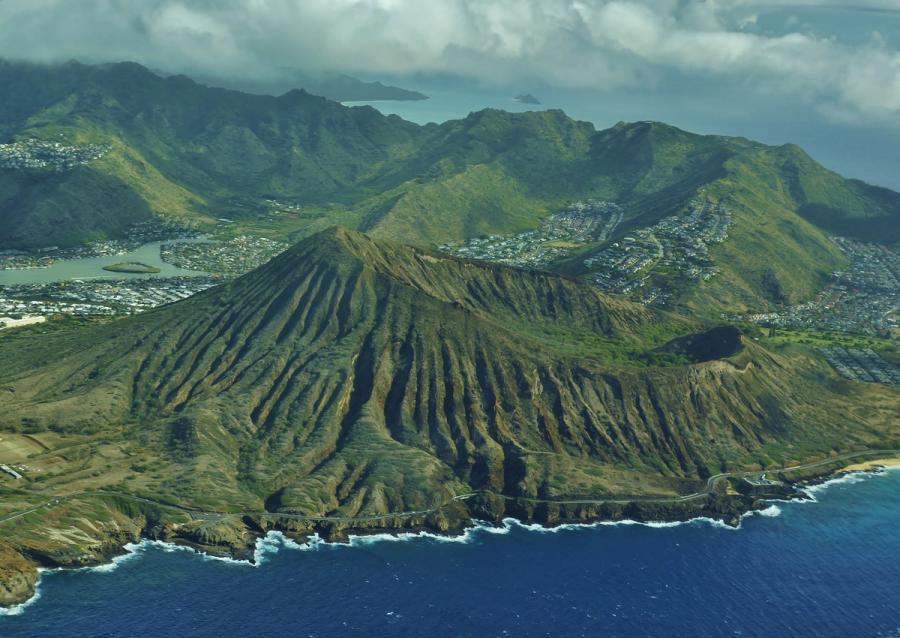
Southeast Honolulu’s scenic, suburban coast with iconic bays, craters, and quick stop-offs.
Kahala & Waialae
A calm, upscale stretch of east Honolulu coastline and neighborhoods beyond Waikīkī.
Kaimukī & Pālolo
Mauka Honolulu neighborhoods of ridges and valley streets just beyond the beach belt.
Waikīkī
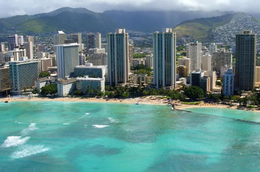
Honolulu’s iconic urban beach district: high-rises, a long sandy arc, constant motion.
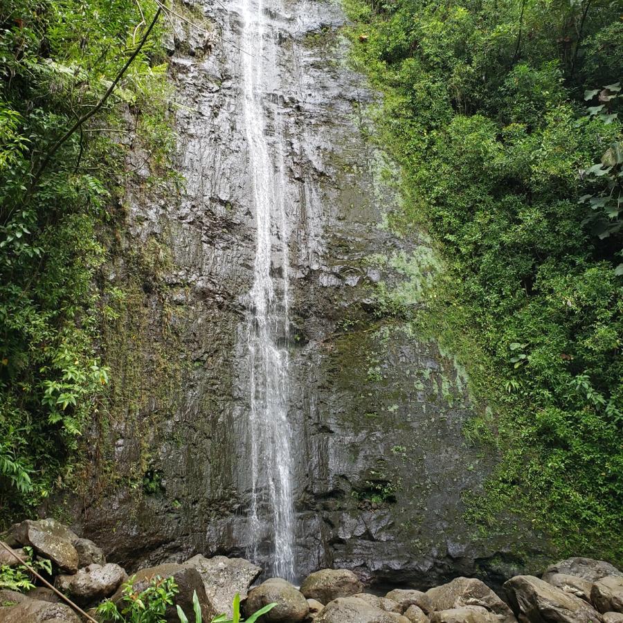
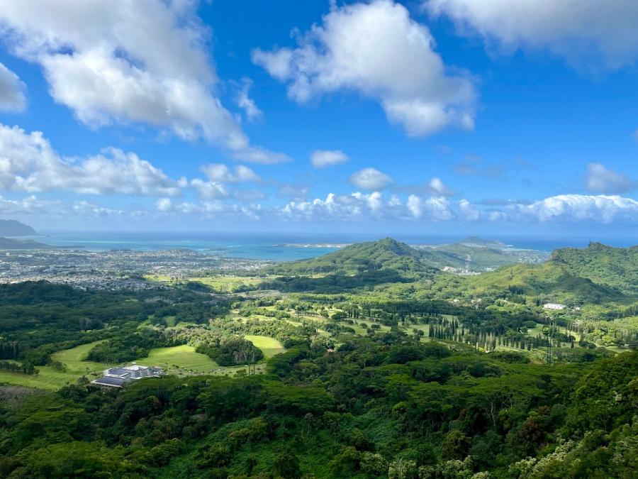
Signature Experiences in Mānoa, Makiki & Nuʻuanu
The feel: Honolulu, but mauka and greener
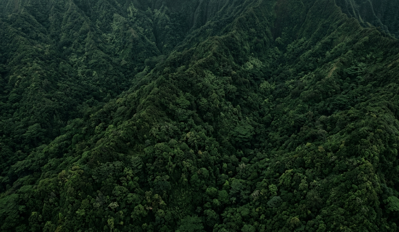
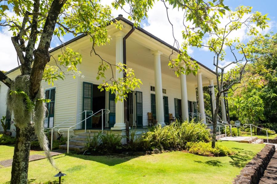
Mānoa, Makiki, and Nuʻuanu aren’t a single district so much as a band of upland neighborhoods that climb right behind Honolulu’s flat, coastal core. Within minutes of leaving the traffic lanes near the H-1, you’re on shaded residential streets with banyan trees, older homes, and a steady backdrop of steep ridgelines. It’s a part of town where everyday life is the point—students crossing campus, families in neighborhood parks, runners and walkers taking advantage of cooler air—rather than a purpose-built visitor zone.
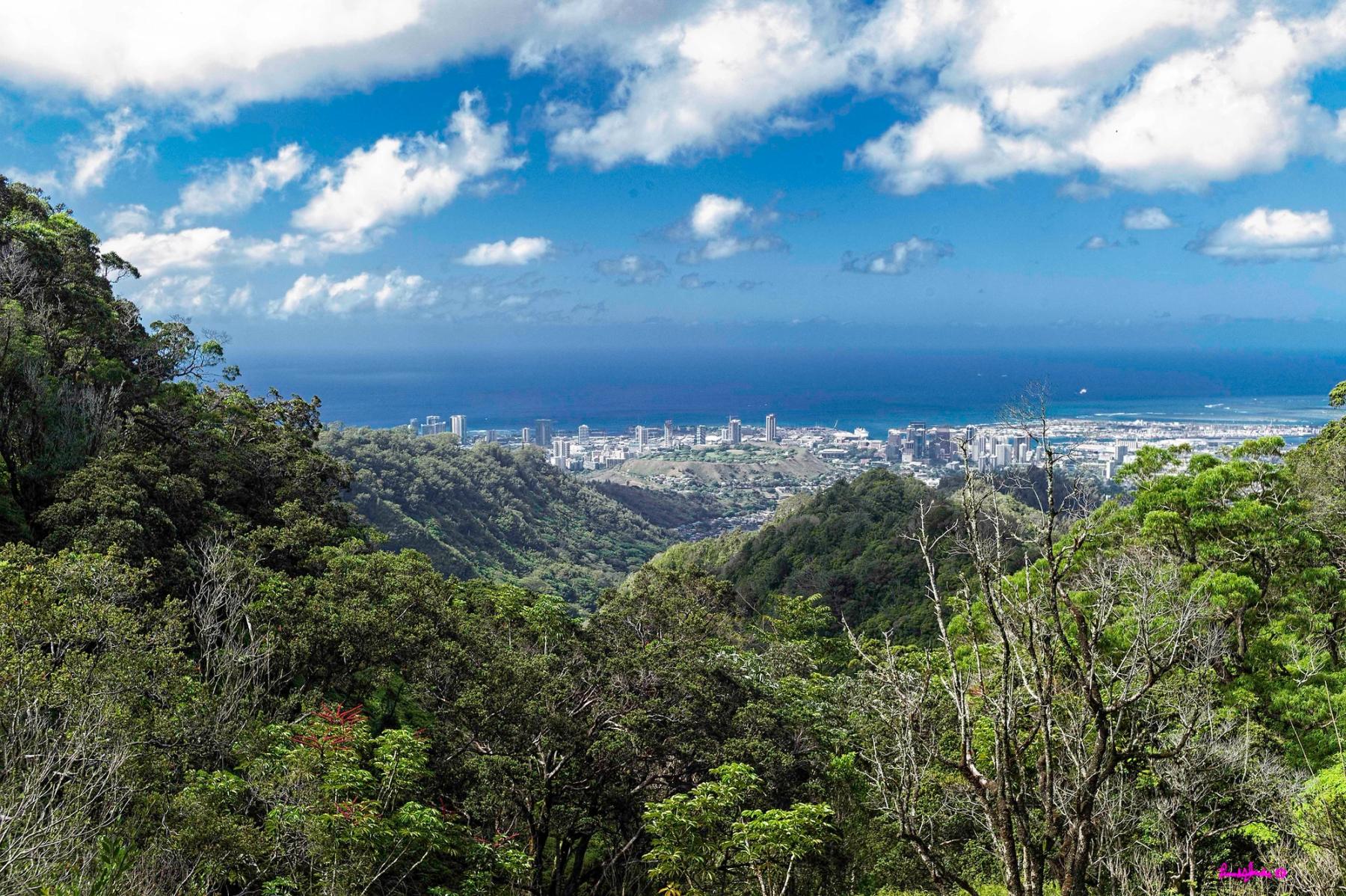
Because the landscape folds into valleys and rises to ridge roads, the experience is naturally “stop-based.” You might spend an hour in Mānoa around the University of Hawaiʻi at Mānoa, then shift to Makiki Heights or Tantalus for a higher viewpoint, then drop into Nuʻuanu’s older corridor of homes and greenery. The transitions are quick, but they don’t stitch together into one walkable loop the way Waikīkī or parts of Kakaʻako can.
What people come for
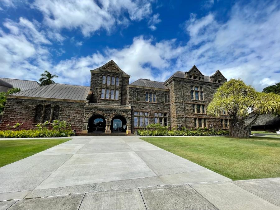
The draw is close-in nature and a more local, topographic version of Honolulu. Mānoa reads lush and campus-centered, with that classic valley look—thick vegetation, frequent rain showers, and views that feel surprisingly removed from the shoreline. Makiki and Punchbowl sit on the slope above town, where streets curl upward and lookouts can open up to the city grid and harbor. Nuʻuanu and adjacent areas like Pauoa and Liliha feel older and more residential, with pockets that still hint at historic routes through the mountains.
Visitors usually fold this area into a day that also includes Honolulu’s urban neighborhoods. It’s an easy way to trade sand and surf for shade, elevation, and a sense of how the city actually lives.
Practical notes and honest tradeoffs
Plan for short drives between stops, not a single hub. Roads can be narrow and winding, with limited pullouts in places; parking can be the main constraint more than distance. Weather changes fast—valleys often get passing showers even when Waikīkī is bright—so a light rain layer helps. Dining exists, especially near UH Mānoa and along main corridors, but it’s not a concentrated “night-out” scene.
Overnight stays are possible in the wider Honolulu area, but most travelers treat Mānoa, Makiki, and Nuʻuanu as a daytime detour from beach or downtown bases.

Can't decide where to stay? Get personalized advice.
Custom recommendations built from the web's most comprehensive Kauai guide.