
Central Oʻahu
Oʻahu’s inland crossroads: history, neighborhoods, and highway links between coasts.
Central Oʻahu is the island’s broad inland plain stretching from the Pearl Harbor–ʻAiea area up toward Mililani and Wahiawā. It isn’t about beaches or a single visitor village; people typically come with a purpose—Pearl Harbor, an inland stop like Dole Plantation, or practical errands—then continue on to Honolulu, the North Shore, or the Leeward side.
Best For
- Pearl Harbor history visits
- Cross-island drive efficiency
- Local food and shopping runs
- Inland scenery and valleys
- Families planning day loops
Trade-offs
- Car-oriented spread-out stops
- Less beach vacation feel
- Traffic at commute hours
- Limited walkable districts
Logistics & Getting Around
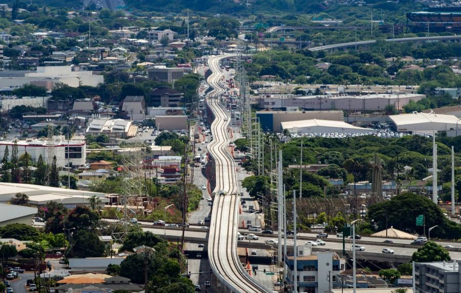
You’ll experience Central Oʻahu mostly by highway and short drives between clusters. Build your day around a few planned stops, allow extra time for weekday rush periods, and expect parking-lot style access rather than stroll-and-browse streets.
Areas in Central Oʻahu
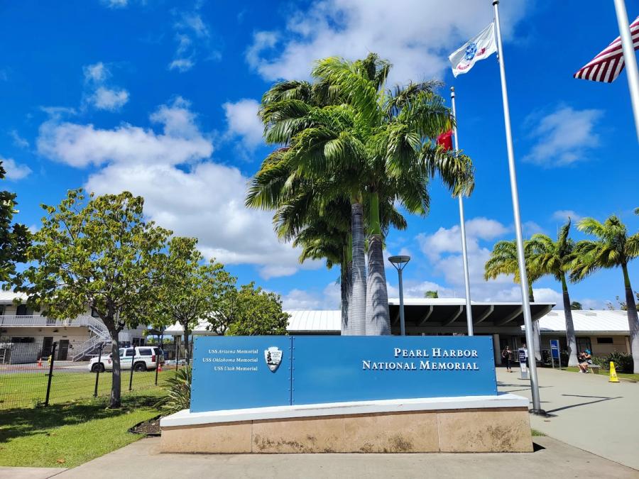
Pearl Harbor & ʻAiea
A purposeful harbor-and-highway corridor anchored by Pearl Harbor’s historic waterfront.
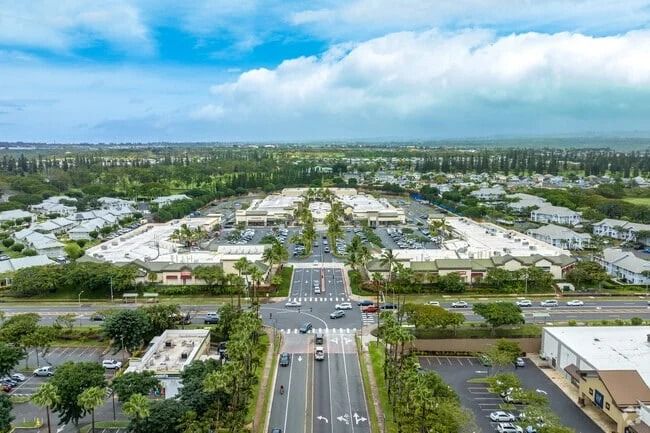
Pearl City
A car-first suburban corridor along Pearl Harbor’s West Loch, built for everyday Oʻahu.
Waipahu & Kunia
A lived-in Central Oʻahu belt for errands, local meals, and easy highway connections.
Mililani
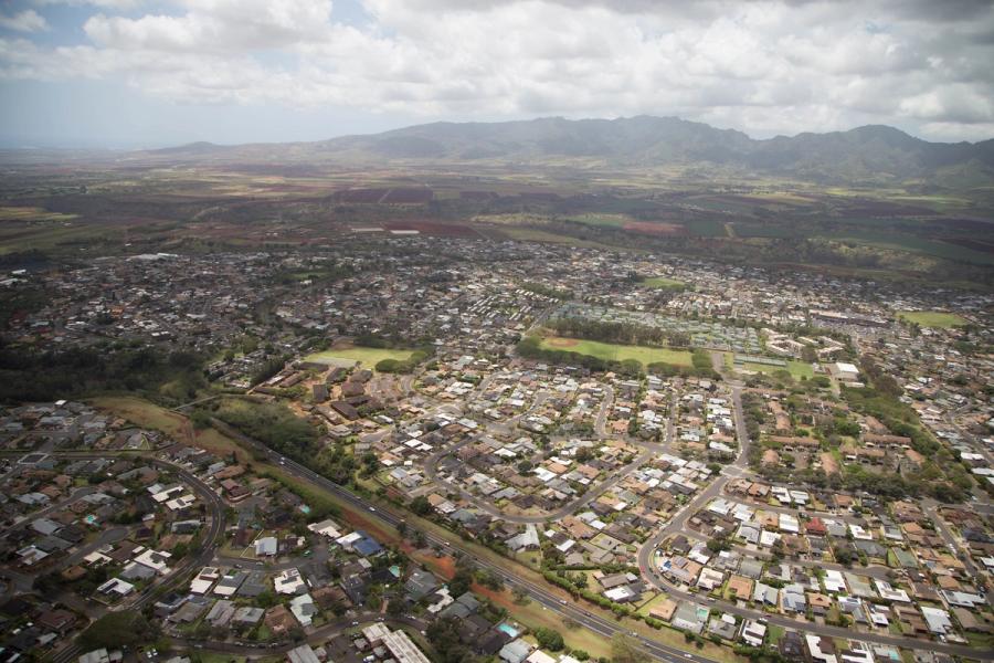
A breezy Central Oʻahu suburb cluster—useful for errands, not sightseeing.
Wahiawā
An inland Central Oʻahu town-corridor where most visitors stop, not settle.
Signature Experiences in Central Oʻahu
A working heartland between the ranges
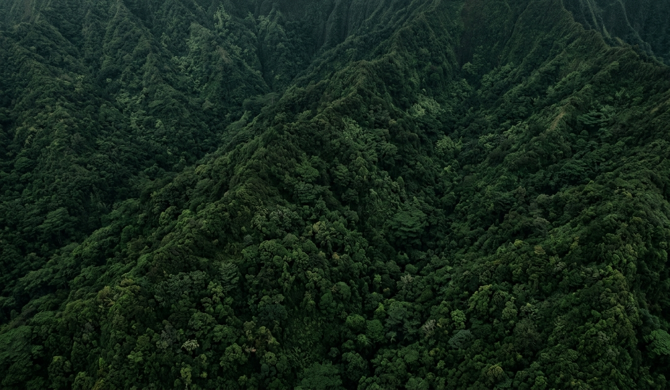
Central Oʻahu sits in the wide saddle between the Koʻolau and Waiʻanae ranges, where the island’s roads and daily life converge. For visitors, it can feel surprisingly “non-vacation” at first: neighborhoods, shopping centers, schools, and big road junctions rather than promenades and ocean views. But that ordinariness is the point. This is the part of Oʻahu that explains how the island functions—military history and active bases around Pearl Harbor, plantation-era landscapes on the inland plain, and the residential communities that feed Honolulu’s workday rhythm.
You don’t typically wander Central Oʻahu without a plan. It’s a place you drop into for a few anchors, then move on. That makes it especially useful if you’re stitching together a trip day that starts in Honolulu or near the airport and ends on another coast.
How visitors usually spend time here
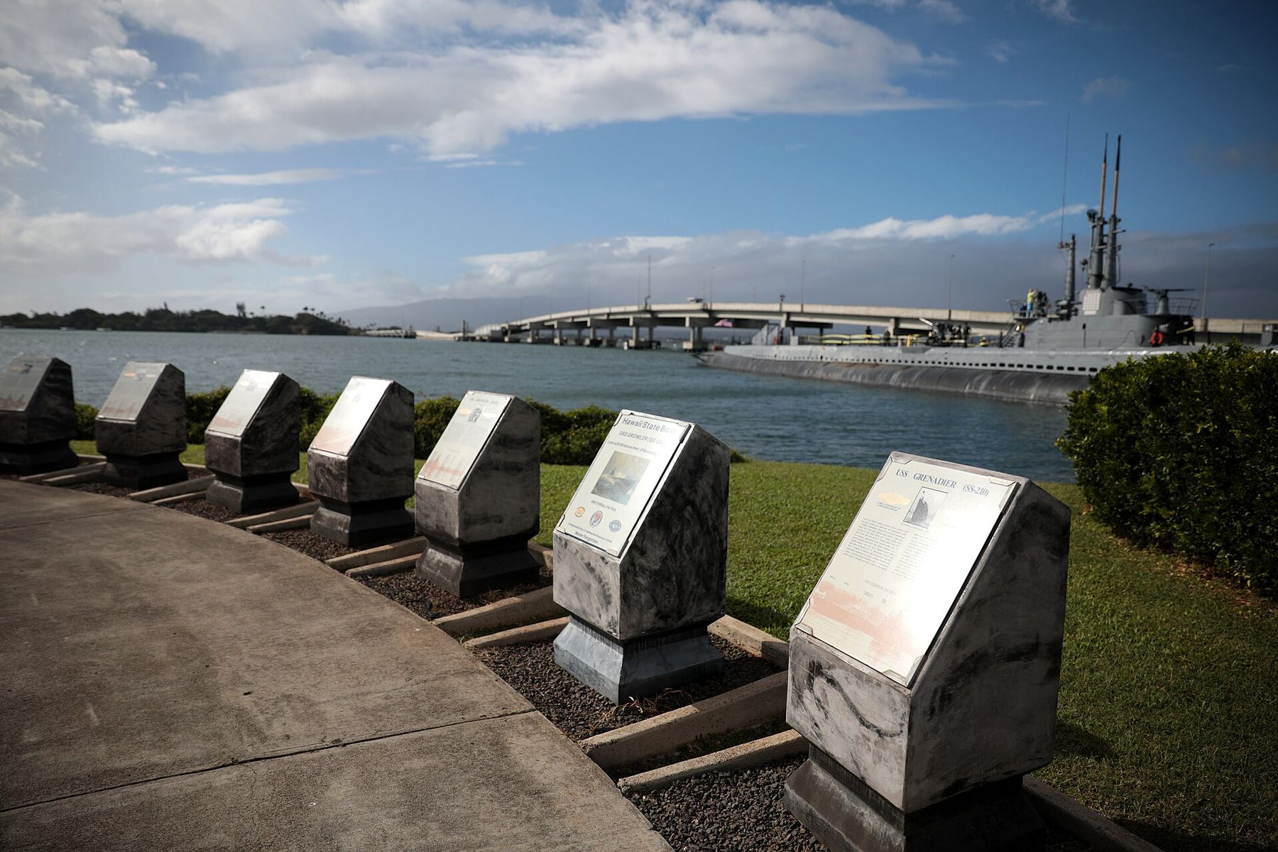
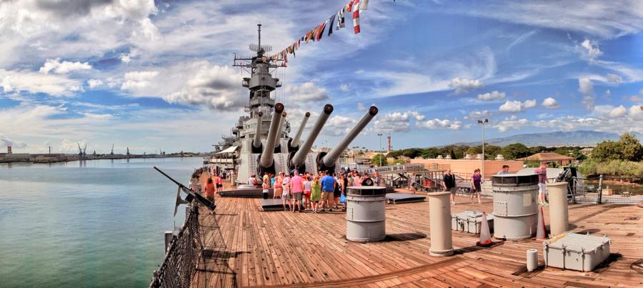
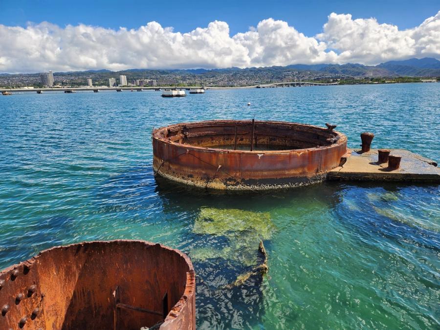
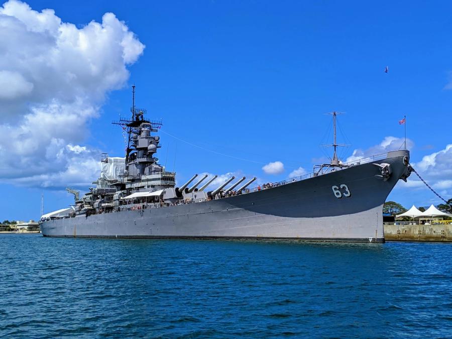
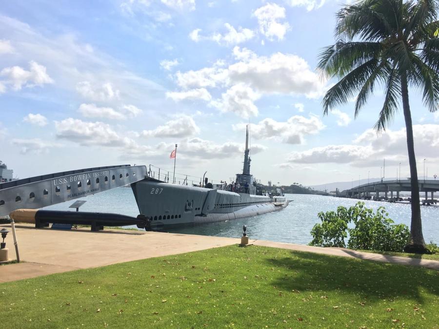
Pearl Harbor is the clear gravity well: many travelers devote a half-day or more to the memorial sites, and the experience is emotionally weighty and museum-focused rather than scenic. Around ʻAiea and the Pearl Harbor corridor, the landscape is low and urbanized, with harbor views appearing in fragments rather than as a continuous shoreline.
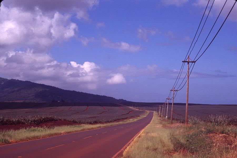
Farther inland, the pace changes. The central plain and Kunia side roads open up to long views toward the mountains and a sense of agricultural past and present. Stops like Dole Plantation are often paired with North Shore time—less a destination for a full day than a recognizable waypoint in a larger loop.
Up toward Mililani and Wahiawā, you’ll feel the shift again: cooler evenings, more greenery, and a “country town” edge as you approach the island’s center and routes toward the North Shore. Wahiawā in particular reads as a working gateway rather than a resort town.
Texture, food, and the practical reality
Central Oʻahu is where many visitors end up doing real-life logistics: stocking up, grabbing quick local meals, or handling errands between check-in and a long day drive. That practicality can be a feature—especially for families or longer stays—but it comes with a tradeoff: the experience is mostly parking lots, short hops, and planned arrivals.
If you choose to spend more time here, do it for efficiency and context, not for a classic beach-town atmosphere. Central Oʻahu rewards travelers who like understanding the island’s layers: history at Pearl Harbor, everyday local Oʻahu in the shopping and food corridors, and the green backdrop of two mountain ranges always on the horizon.

Can't decide where to stay? Get personalized advice.
Custom recommendations built from the web's most comprehensive Kauai guide.