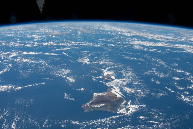


Oʻahu’s geologic story is hiding in plain sight. Look west and you see the Waiʻanae Range. Look east and you see the Koʻolau Range. The broad central plain between them is not empty space—it is where two enormous volcanoes grew together and became one island.
Those mountains once looked more like the broad shields of Hawaiʻi Island than the sharp ridges we know today. Millions of years of rain, landslides, waves, and sinking transformed them. The modern island is the weathered framework that remains.
The older volcano in the west
Waiʻanae began growing from the ocean floor around four million years ago. Lava poured from long cracks and spread outward in layer after layer. Eventually the mountain rose above sea level and became a large shield volcano occupying western Oʻahu.
As eruptions slowed, weathering cut into its slopes. The Waiʻanae Range preserves only part of that original mountain, but its high crest and deeply carved valleys still reveal the older half of the island.
Koʻolau builds the eastern island
A few hundred thousand years after Waiʻanae began, another volcano started growing to the east. Koʻolau became the larger of the two. Its lava spread westward until the volcanoes overlapped, filling the saddle between them and completing the basic outline of Oʻahu.
The meeting zone lies beneath much of central Oʻahu. From the surface it looks like a plain, but below are stacked lava flows from both volcanic systems and the worn surface of the older Waiʻanae Volcano.
A mountain loses its northern half
Koʻolau did not simply fade away. Huge sections of its northern flank broke loose in one or more enormous landslides and swept far across the ocean floor. The debris reaches more than a hundred miles from Oʻahu. What we see as the dramatic windward pali is part of the deeply eroded interior left behind.
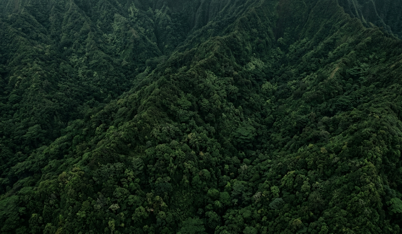
Rain continued the work. Streams cut valleys into both ranges, while waves and changing sea levels reshaped the coast. The original volcanoes subsided as the Pacific Plate carried Oʻahu northwest.
The surprising volcanic encore
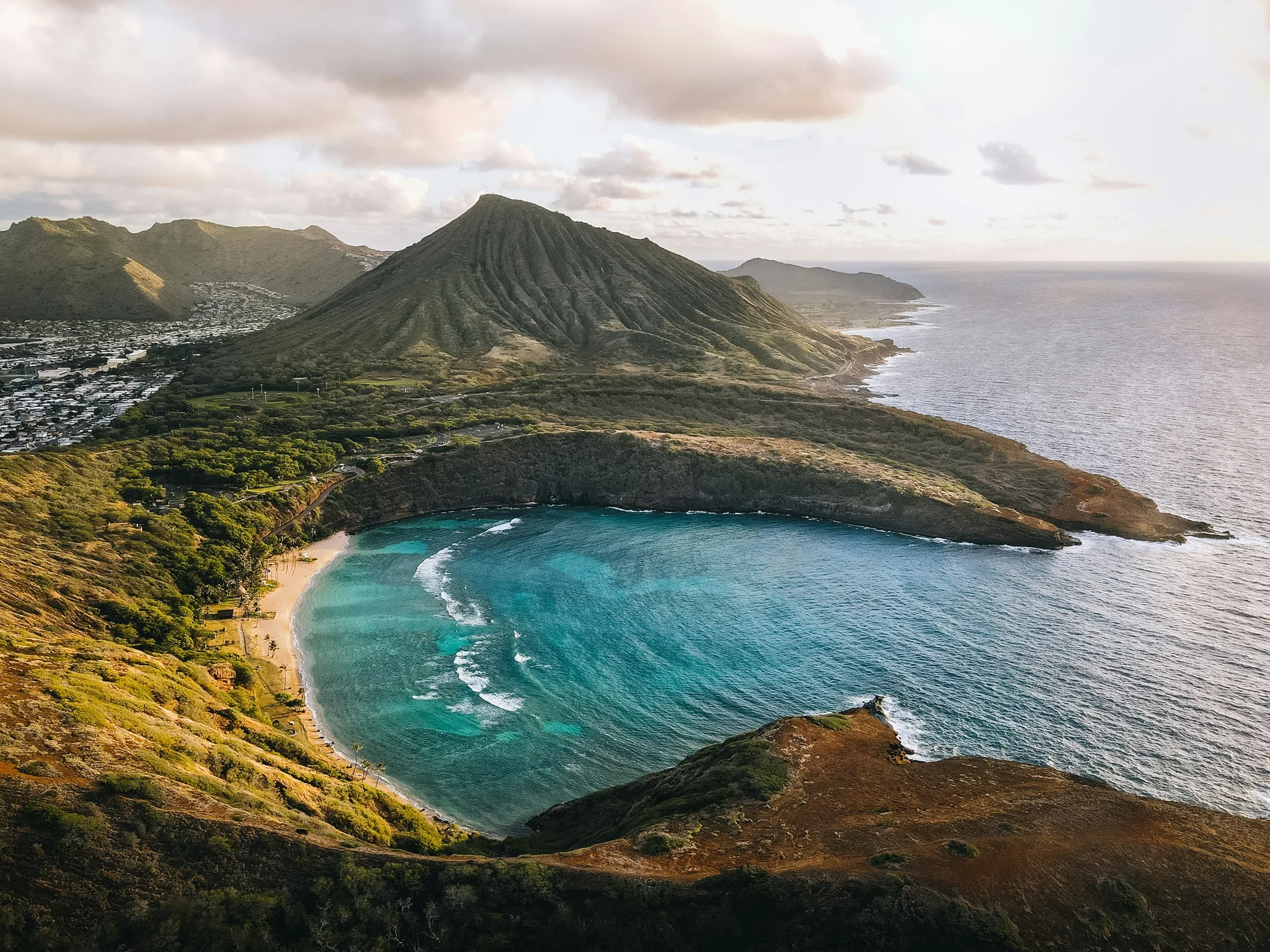
Long after Koʻolau’s main shield-building eruptions ended, volcanic activity returned to southeastern Oʻahu in scattered bursts. These younger eruptions created some of the island’s most recognizable landmarks: Lēʻahi (Diamond Head), Koko Crater, Hanauma Bay, Punchbowl, and several smaller vents and flows.
They were not new giant shield volcanoes. They were isolated late eruptions through an old, heavily eroded landscape—the geological equivalent of an encore after the main performance.
Watch the two halves of Oʻahu come together
The animation makes the island’s two-part structure easier to see, from the rise of Waiʻanae and Koʻolau through their overlap, flank loss, erosion, and late southeastern eruptions.
Reading Oʻahu today
Once you know the island began as two volcanoes, its geography clicks into place. The twin ranges are their eroded cores. The central plain marks their overlap. The windward cliffs reveal the inside of Koʻolau. The small craters around Honolulu and Hawaiʻi Kai belong to a much later chapter.
Oʻahu may no longer be building a great shield, but it is hardly finished changing. Rain, waves, gravity, and slow subsidence continue to edit the island every day. See how Oʻahu fits into the formation of the whole Hawaiian chain.

Further Reading
A few relevant next steps from Alakai Aloha.