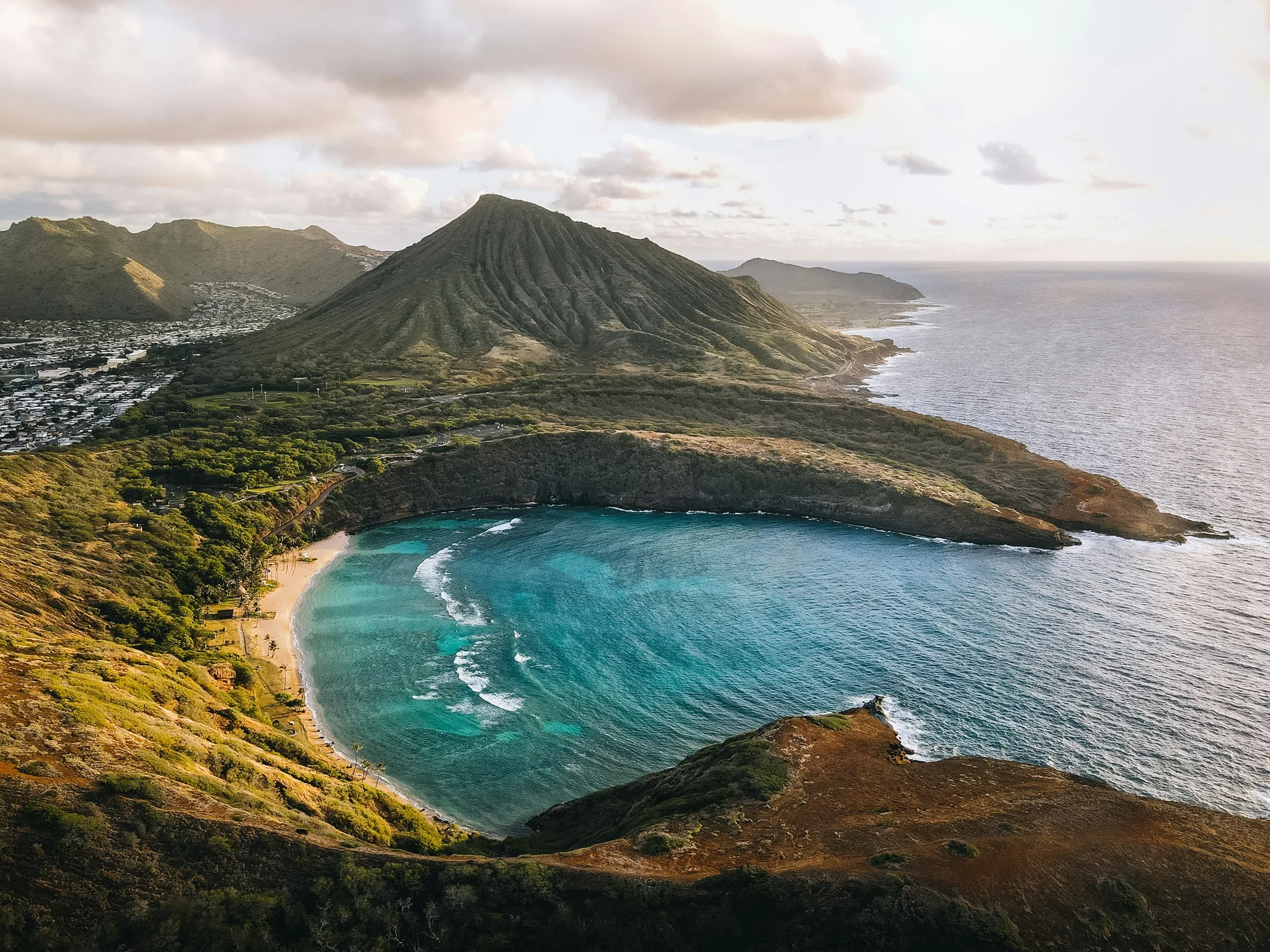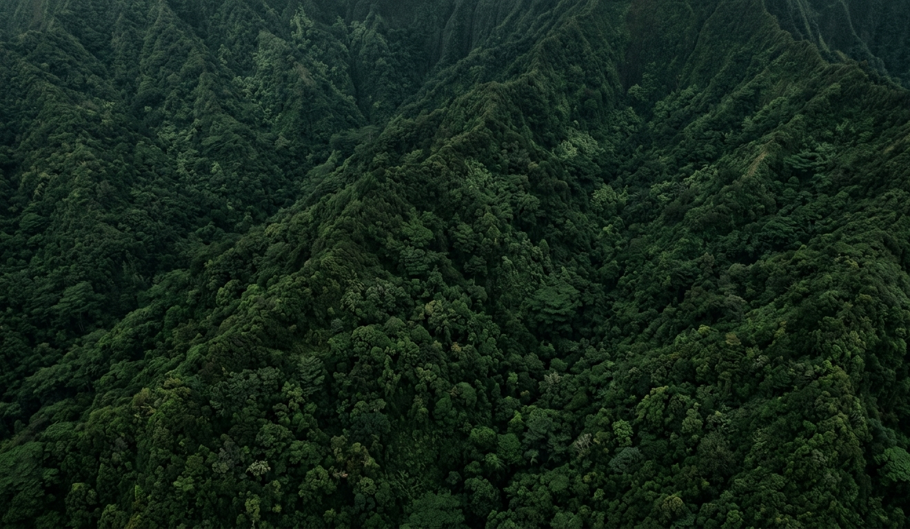


From an airplane, Hawaiʻi looks almost too neatly arranged to be an accident: green islands stepping across the blue Pacific from southeast to northwest. That pattern is the clue to how the islands were made. Hawaiʻi is not a broken piece of a continent. It is the young end of an immense chain of volcanoes—most of them now hidden beneath the ocean.
The short version is wonderfully simple. A source of heat deep beneath the Pacific feeds volcanoes while the ocean floor above it keeps moving. New volcanoes rise near the southeast end of the chain. Older ones ride northwest, cool, erode, and slowly sink. Repeat that process for millions of years and you get the Hawaiian Islands.
A volcanic assembly line in the Pacific
The outer shell of Earth is divided into enormous moving plates. Hawaiʻi sits on the Pacific Plate, which travels generally northwest by a few inches each year. Far below it, unusually hot mantle rock helps generate magma. That magma works its way upward through the plate and erupts on the ocean floor.
At first, each volcano is an undersea mountain that no traveler could see. Eruption after eruption adds layers of lava. The mountain grows wider and taller until its summit finally breaks the ocean surface. What we call an island is only the small, dry top of a volcano that may rise several miles from the deep seafloor.
The heat source does not need to travel with the plate. As the Pacific Plate carries one volcano northwest, a new one can begin growing behind it. This is why the islands and submerged mountains become progressively older toward the northwest and younger toward the southeast.
How lava becomes an island
Hawaiian lava is often fluid enough to travel before it cools. Thousands of overlapping flows spread outward and create broad, gently sloping shield volcanoes. The shape is very different from the steep cone many people picture when they hear the word “volcano.”
Some Hawaiian islands are the work of one main volcano. Others are mosaics built by several volcanoes growing close enough that their lava fields overlap. Oʻahu is made from two major volcanic mountains. Maui Nui once joined at least seven. Hawaiʻi Island is the visible result of five volcanoes pressed together, with still more volcanic structure below the sea.
Why the older islands look so different
Building is only half of the story. Once a volcano is carried away from the most productive part of the hot spot, eruptions slow and eventually stop. Rain cuts valleys into the old lava. Waves attack the coast. Great sections of a volcano can break away in landslides. At the same time, the tremendous weight of the islands bends the Pacific Plate and the volcanoes gradually subside.
That is why the older northwestern islands tend to be smaller, greener, and more deeply carved, while the young southeastern end of the chain still displays broad slopes and fresh lava. Kauaʻi’s cliffs and canyons are not signs that its volcano failed. They are what millions of years of weather, gravity, and ocean have made from it.
One chain, four distinctive stories
The same basic process produced every main island, but it did not make four copies of the same place. Kauaʻi and Niʻihau began as neighboring volcanic systems about six million years ago. Oʻahu grew where the Waiʻanae and Koʻolau volcanoes overlapped. Maui Nui was once a much larger landmass that later separated into Maui, Molokaʻi, Lānaʻi, and Kahoʻolawe. Hawaiʻi Island is the youngest chapter, where volcanic construction remains easy to see.
Those differences matter. They explain why a drive across Hawaiʻi Island crosses young, stark lava fields while a hike on Kauaʻi enters valleys that have been deepening for ages. They explain why Oʻahu has two mountain ranges and why the channels among the islands of Maui County are geologically shallow.
Watch six million years unfold
The statewide animation below brings the shared sequence onto one clock. It is a visual reconstruction—not a recording of exact ancient coastlines—but it helps make the order of growth, movement, erosion, and separation easier to grasp.
The chain is longer than the islands on the map
The eight main islands are only the newest, most visible section of the Hawaiian–Emperor chain. Continue northwest and the older volcanoes become small islands, reefs, atolls, and finally submerged mountains. The chain stretches thousands of miles across the North Pacific and records tens of millions of years of plate motion.
The process also continues to the southeast. Kamaʻehuakanaloa, an active submarine volcano beyond Hawaiʻi Island, is the youngest known volcano in the Hawaiian chain. Whether it eventually becomes an island is a question for a future far beyond any human lifetime.
A landscape that tells time
Once you know the pattern, Hawaiʻi becomes easier to read. A sea cliff, a broad saddle, a crater, a black lava field, and even the channel between two islands are all parts of the same long story. Fire builds the mountains. The moving plate carries them on. Water, waves, gravity, and time reshape what the volcanoes leave behind.
That story is still unfolding. Hawaiʻi is not simply a collection of finished islands—it is one visible moment in a volcanic process that has crossed the Pacific for millions of years.
Further Reading
A few relevant next steps from Alakai Aloha.
 BlogHow Kauaʻi and Niʻihau Were Formed
Kauaʻi and Niʻihau began as separate volcanoes about six million years ago. Their long journey explains the cliffs, canyons, dry plains, and lush valleys we see now.
Editor's pick BlogHow Oʻahu Was Formed
Oʻahu is the meeting place of two ancient volcanoes. Their overlapping lava, enormous landslides, and long erosion created the island’s familiar shape.
Editor's pick BlogHow Maui Nui Was Formed
Maui County’s four islands were once the high points of a single vast landmass. Seven volcanoes built Maui Nui before sinking and rising seas divided it.
Editor's pick BlogHow Hawaiʻi Island Was Formed
Hawaiʻi Island is the young, still-changing end of the island chain. Five volcanoes grew together here, and several remain capable of erupting.
Editor's pick