
Reading the landscape
Oʻahu records overlapping construction and loss
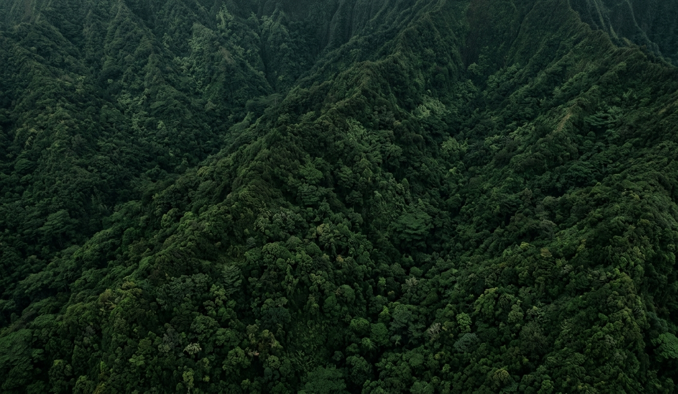
Oʻahu is more than the eroded remains of two familiar mountain ranges. Offshore evidence supports an older precursor, Kaʻena, that began building near five million years ago. Waiʻanae followed, then the younger Koʻolau shield grew against the older western landscape.
Those volcanoes did not simply grow and stop. Subsidence, compound flank failure, the Nuʻuanu landslide, weathering, streams, and waves removed much of their former relief. Hundreds of thousands of years later, small Honolulu Volcanics eruptions locally resurfaced the old Koʻolau landscape.
Eight broad phases
What the animation is showing
The boundaries organize a continuous and uncertain history; they are not claims that Oʻahu changed in sharply separated steps.
About 5.0–4.0 Ma
Foundations rise below the Pacific
Kaʻena begins first in deep water. Waiʻanae starts later and approaches emergence while much of both volcanoes remains hidden below the opaque ocean.
About 4.0–3.45 Ma
Two western shields overlap
Waiʻanae grows rapidly as Kaʻena briefly stands above sea level. The reconstruction keeps them independent, then lets their exposed surfaces join within a deliberately broad scenario window.
About 3.45–2.85 Ma
Waiʻanae becomes dominant
The western shield reaches its broad form while Kaʻena subsides. Compound deformation and flank loss reshape the older volcanic system.
About 2.85–2.55 Ma
Koʻolau builds and joins
The younger eastern shield emerges and expands until its exposed flank coalesces with the eroding Waiʻanae landmass.
About 2.55–2.1 Ma
Koʻolau grows through collapse
Late shield construction continues while the Nuʻuanu landslide removes part of the northeastern flank during an evidence-bounded but uncertain interval.
About 2.1–0.8 Ma
Erosion outlasts shield building
With main shield volcanism ended, subsidence, rainfall, streams, and mass wasting deepen the island’s contrasting ranges.
About 685–80 ka
Small eruptions return
Honolulu Volcanics eruptions intermittently reset limited areas of the old Koʻolau landscape, separated by long quiet gaps.
80 ka–present
The modern remnant appears
The reconstruction converges on the measured modern shoreline and relief: submerged Kaʻena, older Waiʻanae, and younger Koʻolau beneath one island.
Scientific transparency
What is measured, inferred, and illustrated
The reconstruction keeps those categories visible instead of giving every frame equal authority.
Evidence-constrained
The modern NOAA shoreline and relief, dated lava samples, mapped geology, the existence of three volcanic systems, and broad activity windows.
Scientifically inferred
Generalized emergence and merger windows, subaerial consequences of submarine flank loss, subsidence, drainage development, and former scale.
Illustrative
Exact ancient coastlines, valley paths, individual flow footprints, vegetation boundaries, textures, and the visual pacing between anchors.
How it was built
Independent edifice surfaces, one audited system
Kaʻena, Waiʻanae, and Koʻolau are modeled independently on a fixed north-up, equal-scale metric grid. At each moment, the composite land surface is the highest volcanic contribution above sea level. Connections therefore emerge from the surfaces; they are not hand-painted bridges.
Low, central, and high scenarios test the topology-sensitive merger windows. The production uses the central scenario and converges on a downsampled, reprojected NOAA coastal elevation model at the present. Fixed geographic fields keep terrain grain, drainage, moisture, and vegetation coherent.
Read the animation transcript
About 5.0–4.0 Ma
Foundations rise below the Pacific
Kaʻena begins first in deep water. Waiʻanae starts later and approaches emergence while much of both volcanoes remains hidden below the opaque ocean.
About 4.0–3.45 Ma
Two western shields overlap
Waiʻanae grows rapidly as Kaʻena briefly stands above sea level. The reconstruction keeps them independent, then lets their exposed surfaces join within a deliberately broad scenario window.
About 3.45–2.85 Ma
Waiʻanae becomes dominant
The western shield reaches its broad form while Kaʻena subsides. Compound deformation and flank loss reshape the older volcanic system.
About 2.85–2.55 Ma
Koʻolau builds and joins
The younger eastern shield emerges and expands until its exposed flank coalesces with the eroding Waiʻanae landmass.
About 2.55–2.1 Ma
Koʻolau grows through collapse
Late shield construction continues while the Nuʻuanu landslide removes part of the northeastern flank during an evidence-bounded but uncertain interval.
About 2.1–0.8 Ma
Erosion outlasts shield building
With main shield volcanism ended, subsidence, rainfall, streams, and mass wasting deepen the island’s contrasting ranges.
About 685–80 ka
Small eruptions return
Honolulu Volcanics eruptions intermittently reset limited areas of the old Koʻolau landscape, separated by long quiet gaps.
80 ka–present
The modern remnant appears
The reconstruction converges on the measured modern shoreline and relief: submerged Kaʻena, older Waiʻanae, and younger Koʻolau beneath one island.
Research foundation
Principal scientific sources
The production workbook preserves the complete source register, extracted constraints, caveats, and model consequences.
NOAA National Centers for Environmental Information (2011)
Oahu, Hawaii 1/3 arc-second MHW Coastal Digital Elevation ModelIntegrated coastal relief modelSinton, J.M., Eason, D.E., Tardona, M., et al. (2014)
Kaʻena Volcano—A precursor volcano of the island of Oʻahu, HawaiʻiGeological Society of America BulletinGuillou, H., Sinton, J., Laj, C., et al. (2000)
New K–Ar ages of shield lavas from Waiʻanae Volcano, OʻahuJournal of Volcanology and Geothermal Research 96Ozawa, A., Tagami, T., and Garcia, M.O. (2005)
Unspiked K–Ar dating of the Honolulu rejuvenated and Koʻolau shield volcanismEarth and Planetary Science Letters 232Taylor, B., Goodliffe, A.M., and Martinez, F. (2019)
Shoreline slope breaks revise understanding of Hawaiian shield volcano evolutionGeochemistry, Geophysics, Geosystems 20Coombs, M.L., Clague, D.A., Moore, G.F., and Cousens, B.L. (2004)
Growth and collapse of Waiʻanae Volcano as revealed by its submarine flanksGeochemistry, Geophysics, Geosystems 5Garcia, M.O., Norman, M.D., Jicha, B., et al. (2024)
Reexamining the Honolulu VolcanicsJournal of Petrology 65(9), egae093Sherrod, D.R., Sinton, J.M., Watkins, S.E., and Brunt, K.M. (2021)
Geologic Map of the State of HawaiʻiU.S. Geological Survey Scientific Investigations Map 3143